Performance Improvement in the Private Sector
![]()
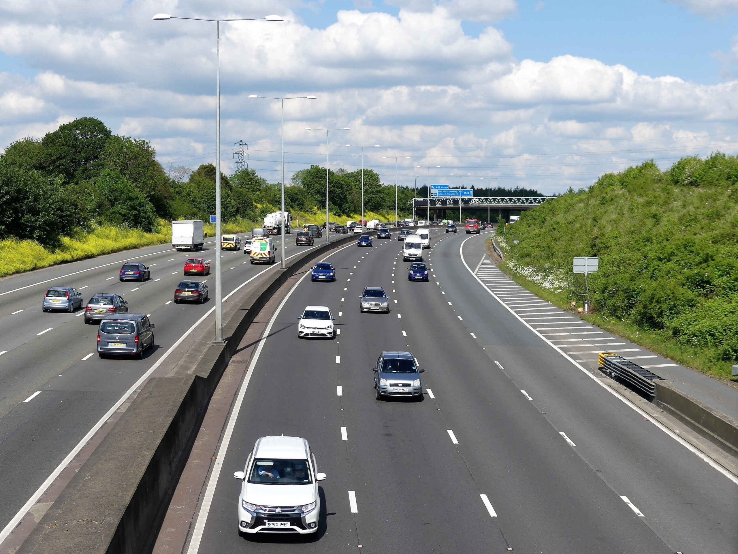
AtkinsRéalis’ Geospatial team have worked alongside Connect Plus Services (CPS) to find new ways to optimise the data collected about the M25. This work has reduced disruptions, risks to maintenance teams, and the costs of running a key national asset.
The M25 is the busiest road in Britain and one of the most complex, with around 250,000 vehicles using it daily. In fact, 80% of the busiest parts of the UK’s road network are on the M25. Mostly it runs smoothly, helping people get to work and school, go on holiday, care for loved ones, and providing access to airports and ports. But when accidents happen, or repairs are required, it is often pilloried in pubs, in print, and online as the “the world’s biggest car park”.
AtkinsRéalis’ Geospatial team have worked alongside Connect Plus Services (CPS) to find new ways to optimise the data collected about the M25. This work has reduced disruptions, risks to maintenance teams, and the costs of running a key national asset.
Whilst the visible legacy will be on the road, our team are most proud of is the learning and growth legacy within CPS, where digital literacy rates have exploded. Processes that used to take two to three hours now take twenty minutes, and a culture of integration not isolation prospers. We ‘walked in users’ shoes’, understanding their values, needs and motivations and by identifying these, provided bespoke strategic solutions, that have changed the ways of working at CPS.
Over the coming decade, the pace of technology and the proliferation of data will continue unabated. Through this work, our team have laid strong foundations for CPS to take advantage and bring further benefits to everyone who uses and manages the M25.
View the AtkinsRéalis profile in the MCA Members Directory.